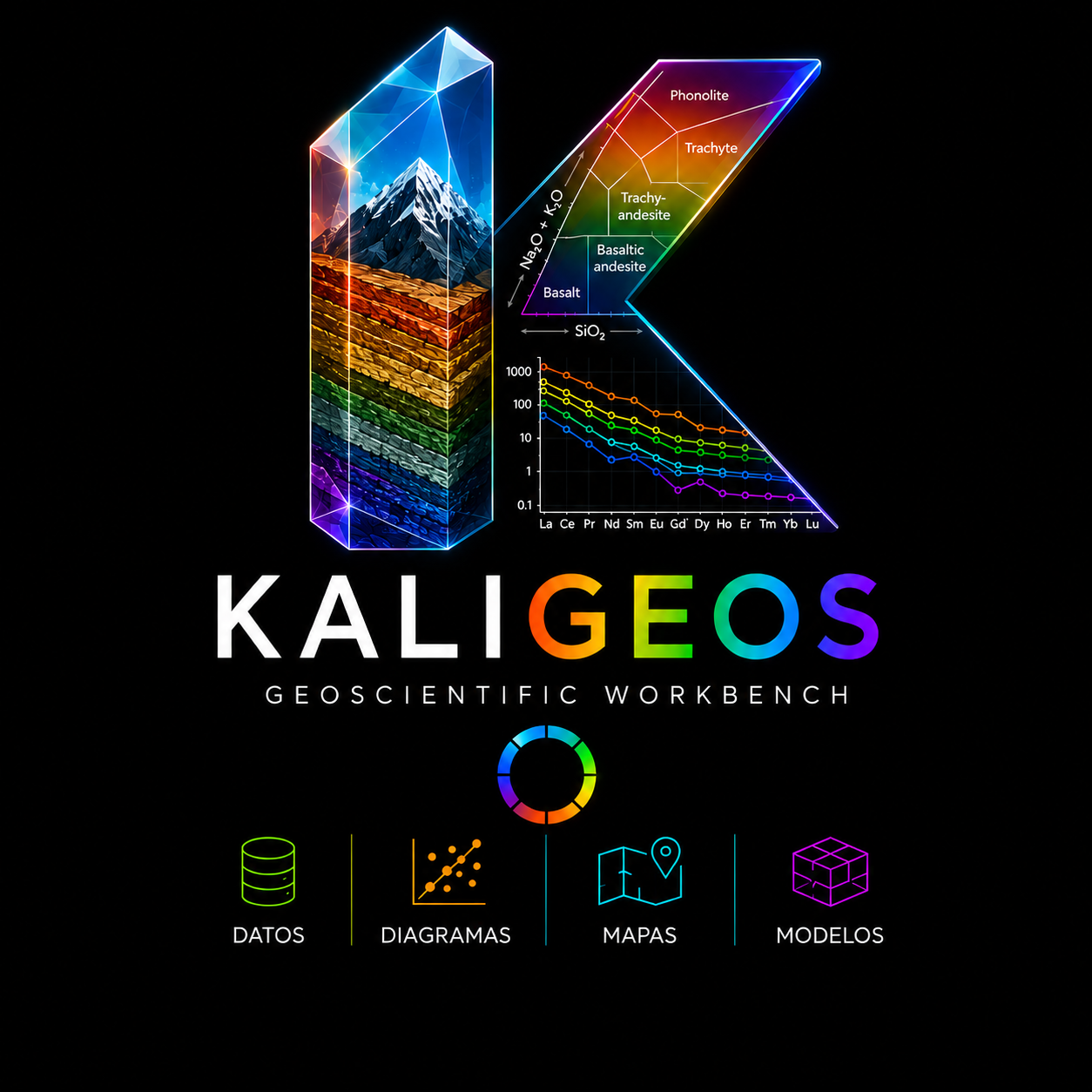
Geoscientific workbench

Geochemical diagrams and geological data visualization in one connected workspace.

Local desktop application · Reproducible projects · Vector scientific output

A complete view of the desktop workspace.
Desktop workspace preview

What is Kaligeos?

A connected workspace for geological reasoning

Kaligeos is a geological reasoning and visualization environment. It begins as a professional desktop workspace for geochemical data and scientific diagrams, and is designed to grow toward linked maps, profiles and conceptual models without separating interpretation from its source data.

  1. 01Data
  2. 02Organization
  3. 03Exploration
  4. 04Interpretation
  5. 05Publication

Workflow

From raw measurements to scientific output

Keep data, classification, exploration and publication inside one reproducible project.

01

Import and organize

Import CSV and multi-sheet XLSX datasets while preserving sample names, chemistry, metadata and source traceability inside a project.

  • CSV and XLSX import
  • Sample and metadata organization
  • Chemical variable recognition
  • Project-based data structure
Import a table and inspect it in Samples.
02

Classify and style

Classify samples through reusable legend schemes while keeping inherited group styles distinct from deliberate sample-level exceptions.

  • Legend schemes
  • Groups and supergroups
  • Marker and color editing
  • Manual sample overrides
Organize groups and edit inherited styles.
03

Explore linked diagrams

Open multiple scientific diagrams, compare groups and inspect the same samples across coordinated views.

  • Multiple diagram instances
  • Linked sample selection
  • Filtering and hiding
  • Saved views
Follow the same samples through coordinated diagrams.
04

Export for publication

Refine typography, legends, annotations and scientific layout before exporting deterministic vector figures.

  • SVG export
  • PDF export
  • Publication dimensions
  • Annotations and legends
Refine layout and export a vector figure.

Scientific diagrams

A growing library for geochemical exploration

Open established classifications, compare multiple views and retain control over scientific styling.

Scientific diagram

Beyond predefined diagrams

Build a Custom XY diagram from a published figure

Calibrate axes, define fields and labels, map expressions and save the result as a reusable project template.

  • Import a reference image without presenting it as data
  • Define Cartesian axes, scale and compatible variables
  • Recreate field boundaries and scientific labels
  • Save a reusable, editable diagram definition
Calibrate a reusable compatible Cartesian diagram.

Designed for exploration

Move through the same evidence from different angles

Explore a simplified, interactive reconstruction of a real Kaligeos project diagram. Selection, legend visibility and presentation controls remain linked.

Nb/Yb vs Th/Yb MallecoInteractive project snapshot
SamplesPlotted samples
4 visible
SampleNb/YbTh/Yb
Estratos de Hueñuhueñu1.760.63
CVA3.280.63
CVA2.420.44
Samples2.031.39
Nb/Yb vs Th/Yb Malleco
Selection linked
Interactive Nb/Yb versus Th/Yb Malleco diagramA logarithmic Pearce diagram reconstructed from the borrador_v3 Kaligeos project. Select samples in the plot or table, resize the scientific canvas, and use the legend and style controls.Volcanic arc arrayMORB-OIB arrayN-MORBE-MORBOIB6385-5 · Estratos de Hueñuhueñu · Nb/Yb 1.765 · Th/Yb 0.634LEL070710-10 · CVA · Nb/Yb 3.283 · Th/Yb 0.632LEL070710-8 · CVA · Nb/Yb 2.422 · Th/Yb 0.437LEL070710-9 · Samples · Nb/Yb 2.028 · Th/Yb 1.3940.11101000.010.1110Nb/YbTh/Yb

Select a sample in the table or diagram.

Scientific reproducibility

Data and presentation remain deliberately distinct

Kaligeos treats a figure as a reproducible result of scientific data, explicit settings and deterministic style.

01

Scientific data

Samples, chemistry, coordinates and metadata remain separate from their visual representation.

02

Deterministic style

The same data, settings and style produce the same scientific figure.

03

Shared rendering

Screen, SVG and PDF output are derived from the same render description.

Product vision

A geological workspace that grows without fragmenting context

The current foundation focuses on geochemical data and scientific diagrams. Future modules can connect new representations to the same samples and projects.

Available now

  • Geochemical data organization
  • Scientific diagrams
  • Legend and style systems
  • Annotations
  • Saved views
  • SVG and PDF export

Future direction

  • Linked geological maps
  • Conceptual profiles
  • Block diagrams and 3D models
  • Reference-linked geological entities
  • Assisted geological interpretation

Data

Available now

Diagrams

Available now

Maps

Future module

Models

Future module

See Kaligeos in action

Six moments in one connected workflow

These prepared slots can be replaced independently with real WebM demonstrations or WebP screenshots.

Import a table and inspect it in Samples.
01

Importing a geochemical dataset

Import a table and inspect it in Samples.

Organize groups and edit inherited styles.
02

Creating a legend scheme

Organize groups and edit inherited styles.

Follow the same samples through coordinated diagrams.
03

Linking selections across diagrams

Follow the same samples through coordinated diagrams.

Adjust scientific typography and visual hierarchy.
04

Editing publication styles

Adjust scientific typography and visual hierarchy.

Calibrate a reusable compatible Cartesian diagram.
05

Building a Custom XY template

Calibrate a reusable compatible Cartesian diagram.

Refine layout and export a vector figure.
06

Exporting a scientific figure

Refine layout and export a vector figure.

Plans

Start free. Upgrade when you need more.

Kaligeos Community includes the essential scientific workflow without a time limit. Professional removes vector export and custom diagram limits.

Community

Free forever

US$0

A complete, permanent edition for scientific projects with clear productivity limits.

  • Unlimited projects
  • All included scientific diagrams
  • Unlimited data import, project opening and saving
  • Unlimited raster exports
  • 50 cumulative vector exports
  • Up to 2 Custom Diagram Builders saved at once
  • No watermark
  • No time limit
Download Community

Professional

Unlimited productivity

Coming soon
Professional billing period

US$5/ month

Monthly billing

US$50/ year

Equivalent to US$4.17/month · Save US$10 a year (16.7%)
  • Unlimited vector exports
  • Unlimited Custom Diagram Builders
  • Unlimited projects
  • All included scientific diagrams
  • Unlimited data import, project opening and saving
  • Unlimited raster exports
  • Current and future Professional capabilities as they become available
  • Cancel at any time once subscriptions launch
  • Projects remain accessible after returning to Community
Get Professional — coming soon

No checkout is active. Additional Professional capabilities will be introduced progressively.

Plan comparison

CapabilityCommunityProfessional
ProjectsUnlimitedUnlimited
Scientific diagramsIncludedIncluded
Raster exportsUnlimitedUnlimited
Vector exports50 cumulativeUnlimited
Custom Diagram Builders2 at onceUnlimited
MapsNot includedNot currently promised
Time limitNoneWhile subscription is active
WatermarkNoneNone

Pricing FAQ

Useful details before you choose

Does Community expire?

No. Kaligeos Community has no time limit.

What counts as a vector export?

SVG, current-view SVG and vector PDF exports use the Community allowance. Raster exports do not.

Can I keep opening projects after reaching the export limit?

Yes. You can continue opening, editing and saving projects. The limit only affects new vector exports.

What happens if I cancel Professional?

The account returns to Community and projects and data remain accessible. Community limits apply again.

Can I switch between monthly and annual billing?

Yes, once the subscription system is available. Proration and billing details will be defined with the payment provider.

Official prices are shown in USD. Taxes and payment terms will be confirmed when subscriptions become available.

Download

Start exploring geological data with Kaligeos

Kaligeos is under active development. Release information will be published when it is ready.

Download not yet availableRead the documentationView source
Current version
To be announced
Operating system
To be announced
Release date
To be announced
Installer size
To be announced
License
To be announced